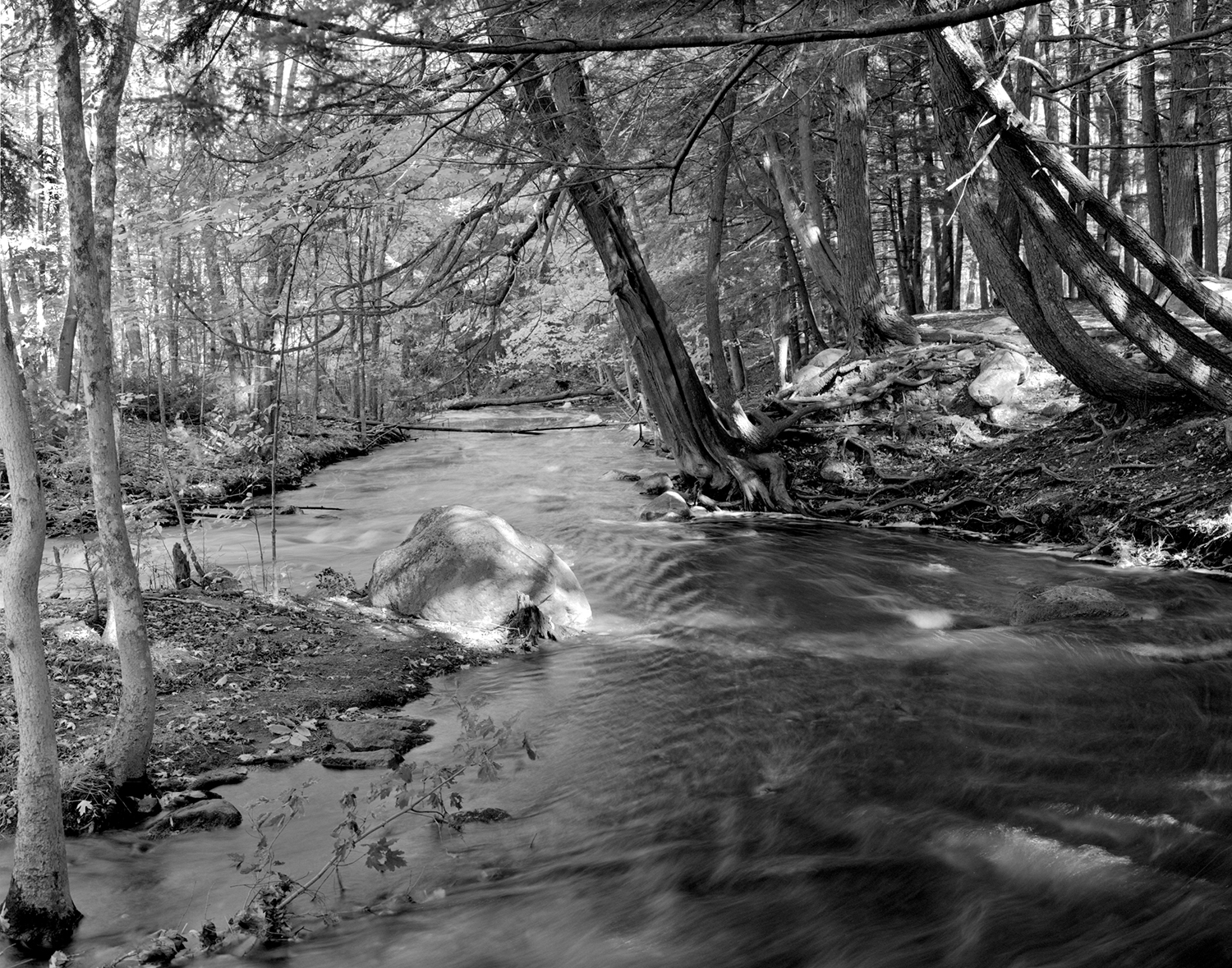
Wolf River Batholith
During childhood, I developed a close relationship with the finite patches of land that I could explore with my short legs – wandering to a favorite spot, collecting twigs and grasses to build a nest, picking apart plants to study them, inhaling the spicy, decaying smell of the wetland down near the creek, squishing through the muddy stream and examining its crawly inhabitants – coming home near dark happy, dirty and smelly and sometimes missing a shoe.
This spirit of exploration continues and is expressed in my photography. I return to locations over long stretches of time to observe the changes brought by the seasons, weather, human effects, and occasionally catastrophic events like fires or floods.
I have a long-standing connection with the places in the Wolf River Batholith. The Batholith is a geologic form that underlies the landscape in Central Wisconsin where I grew up and where my Mother and Father were born. During the Middle Proterozoic fifteen-hundred million years ago, hot magma from the center of the earth rose into the earth’s crust and pushed igneous granitic rock to the surface forming the batholith. Later, the area was covered by the Laurentide Ice Sheet for millions of years during the Quaternary glacial epoch.
Outcrops of rapakivi granite similar to the massifs in Finland are found in the Wolf River Batholith's watershed and visible in my photographs of the Embarrass and Red Rivers. Glacial erratic boulders were delivered from Canada by the retreat of the Green Bay Lobe of the Larentide Ice Sheet 50,000 years ago. Colossal boulders rest atop the Embarrass River outcrops at Hayman Falls Park and along the Red River in Shawano County.
These magical ancient landscapes were my playground during the 1960s-70s. Family picnics at Hayman Falls County Park became the subject of my earliest photographs – when I got my hands on a Polaroid Land camera that produced instant pictures
Flanagan family picnic at Hayman Falls County Park, 1970. Concrete dam on right is remnant of hydroelectric facility
The "falls" were created by damming the Embarrass River. Sawmills used its water power during the area's European settlement in the 1800s. But by the 1960s, most of the regional hydroelectric facilities that followed, including the one at Hayman Falls, had closed. Shawano County bought the property for $1 from Wisconsin Power and Light in 1965 and turned it into a park. The concrete dam and abutments remained until 1995 when the river was finally returned to its natural flow by their removal.
When I returned to photograph Hayman Falls in the 2000s, I was stunned by the changes. The Middle Branch of the Embarrass River that runs through the park is now more beautiful than I could have imagined and a Class I trout stream. This is how the river must have appeared when the Menominee people lived here; early maps of the area identify an "Indian village" at the bend in the river in the park and an "Indian trail" to nearby Shawano Lake.
Embarrass River, Hayman Falls Park and Tigerton Dells, Shawano County, Wisconsin
Tigerton Dells, Embarrass River (WI) Obstacles, August 2012. The etymology of the word "embarrass" derives from the Portuguese, Spanish and French meanings to hamper, impede, block or obstruct.


